Christ Church Grantley Adams International Airport (BGI)
Orientation and Maps
(Christ Church, Barbados)
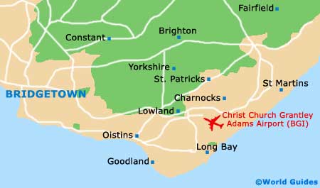
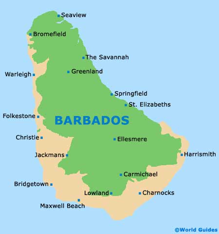
The island of Barbados is located in the western area of the Atlantic Ocean and is near to South America. Barbados is known for its spectacular stretches of sandy coastline, crystal-clear waters and large sugarcane plantations, and is usually home to an interesting mixture of locals and visiting tourists. The parish of Christ Church lies on the southern side of Barbados, beneath St. Michael, St. George and St. Philip, with important towns in this area including the fishing town of Oistins, next to the bay and close to Providence.
Located on the south-eastern edge of Bridgetown, Christ Church Grantley Adams Airport (BGI) is the island's only airport and features many daily flights from prominent international airports around the world. Grantley Adams Airport is a particularly important gateway to the Eastern Caribbean and is constantly being upgraded and modernised.
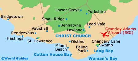
Christ Church Grantley Adams Airport (BGI) Maps: Important City Districts
The southern and western coasts of Barbados tend to be the most tourist-friendly and many of the best beaches can be found to the south, where accommodation, restaurants and top nightclubs are never far away. The waters around this area are known for their excellent surf, which suits surfers of all abilities.
Around the western side, the sea tends to be calmer and more suitable for swimming, scuba diving and most other water sports, while the eastern side of Barbados is considerably more rocky.
Barbados Map
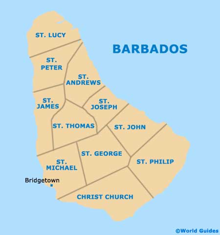
Barbados Parish Map
Christ Church and Bridgetown Maps